


Sunday Weather Blog
An Extreme Heat Warning is now in effect due to the potential for heat index values to warm up to 110 degrees. This threat is extended into Monday and Tuesday, as well.
Stream Connecticut News for free, 24/7, wherever you are.


An Air Quality Alert has also been issued for the southern half of the state through 11pm Monday.
Get top local Connecticut stories delivered to you every morning with the News Headlines newsletter.


Today was day one of the heat wave as temps in Harford reached the 90° mark.
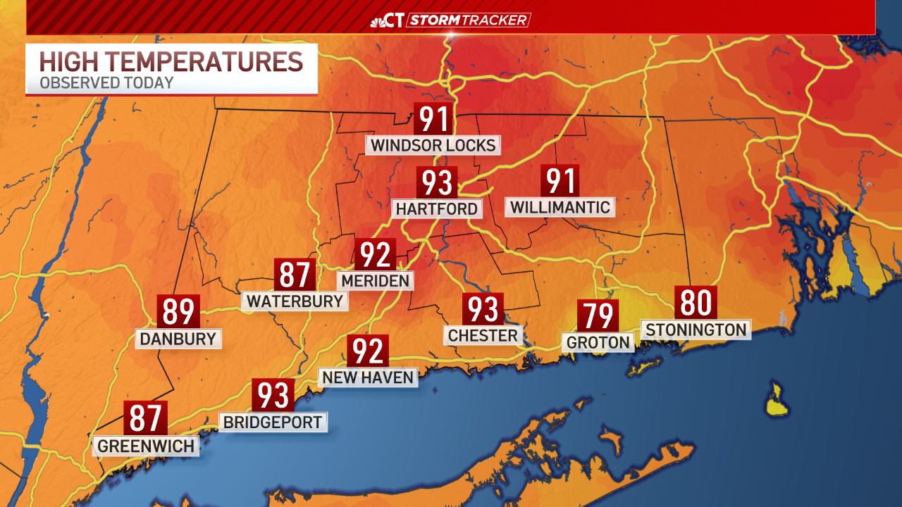
It felt warmer with the humidity, feeling close to 100° at times, even for the shoreline!

Actual temperatures could warm to near 100 degrees on Monday and Tuesday. The heat could extend into Wednesday before rain chances return.

The heat risk will be near extreme levels by Tuesday so if you have to be outside, drink plenty of water, wear loose-fitting clothing and take many breaks.

If it does warm to 100 degrees at Bradley International Airport, it would be the first time since July 21st, 2019 AND only the third time to ever do so in the month of June. It could also be the earliest 100 degree day on record. Either way, we should break a few high temperature records this week.

Temperatures will eventually fall back to the 70s and 80s for the second half of next week as the chance for scattered showers and thunderstorms returns.


