
A nor'easter, a strong coastal storm system with gusty northeast winds, is bringing heavy rain to Connecticut on Thursday. The eastern part of the state is getting the brunt of the storm.
Stream Connecticut News for free, 24/7, wherever you are.
A cold, raw rain will fall throughout the day, some of it will be heavy at times. We will get half-an-inch to two two inches of rain.
Temperatures are only be in the 40s for much of the state.
Get top local Connecticut stories delivered to you every morning with the News Headlines newsletter.
It will be so chilly the Hartford area may break a daily record for the coldest daytime high temperature for May 22. If it doesn't surpass 49 degrees, we'll have a new record.

This could cause isolated flooding in low-lying, or susceptible spots, but widespread flooding appears unlikely.
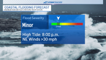
Additionally, minor coastal flooding is possible along the shoreline, mainly between 6 p.m. and 10 p.m. Thursday.

During high tide, water levels may reach a foot to a foot-and-a-half higher than normal. This will result in water collecting in low, flood-prone spots on the shoreline.
Winds will gust between 15 and 30 miles per hour, making it feel even colder.
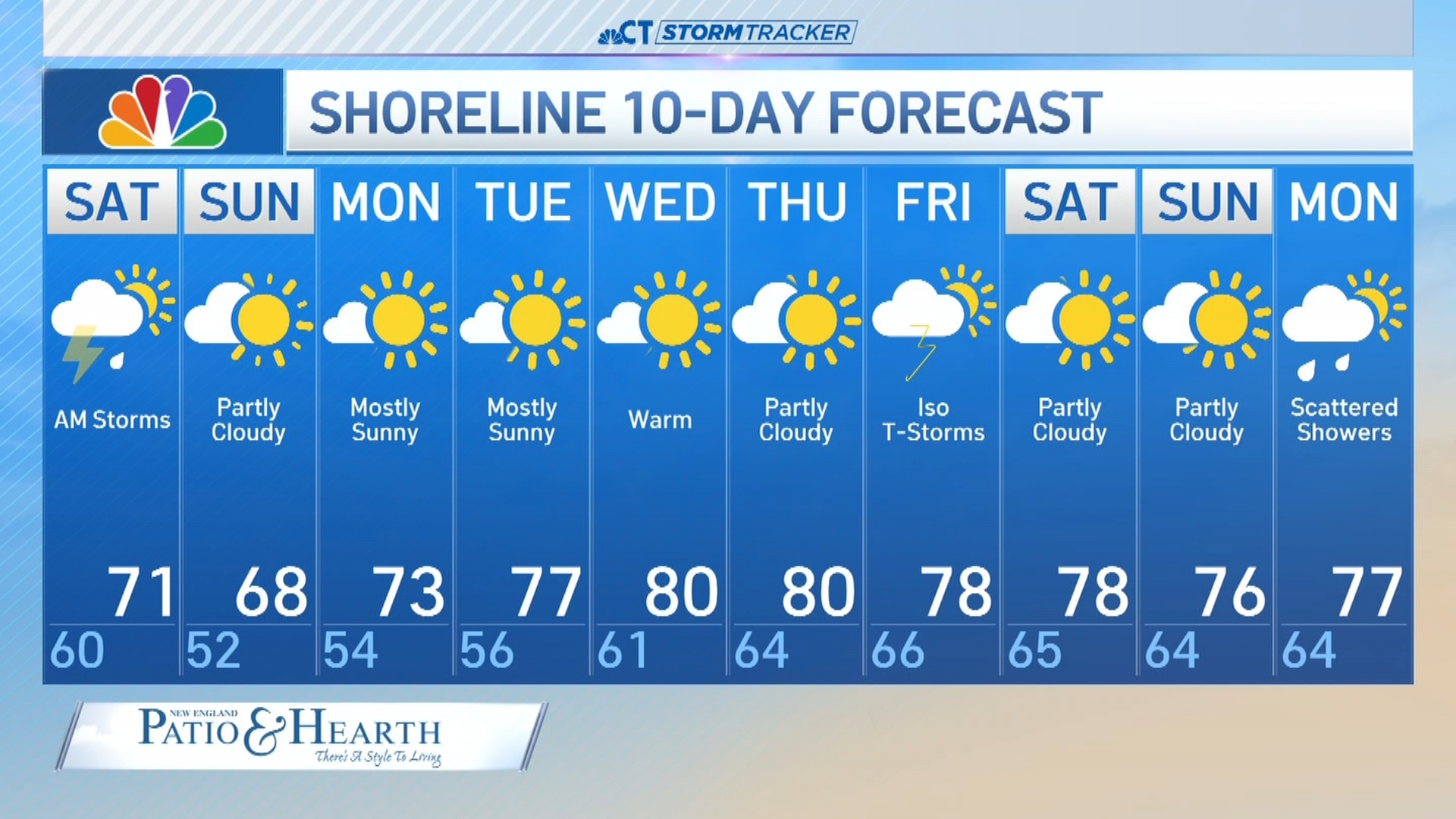
The weather system will clear on Friday, but clouds will linger into the first part of our holiday weekend.
Friday will be gray with isolated showers and high temperatures in the 50s.
It will be slightly brighter on Saturday with temperatures in the lower 60s.
Sunday and Monday will be brighter with high temperatures in the 60s and 70s.